NAVIGATOR
Flight management system#
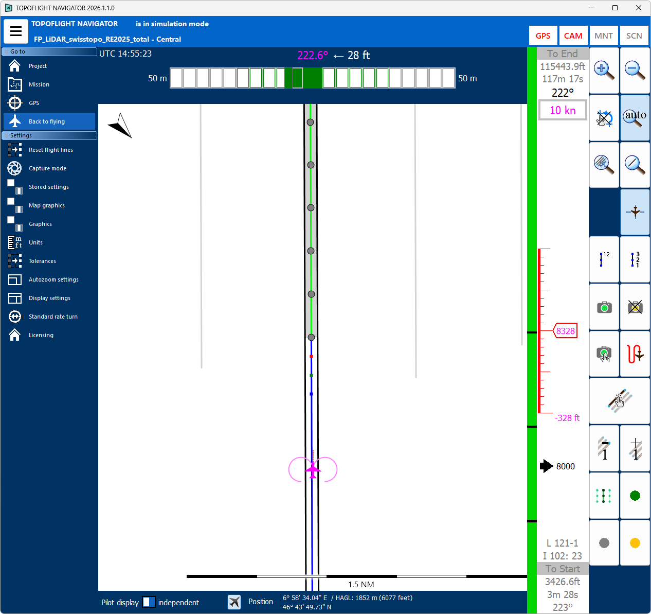
TOPOFLIGHT NAVIGATOR plays a crucial role in aircraft and helicopter navigation during image and LiDAR data acquisition. It operates based on predefined flight plans created with TOPOFLIGHT MISSIONPLANNER. These flight plans not only ensure efficient flight paths but also define designated positions for automatic triggering of the sensors. For convenient navigation, both the pilot and the operator have their own separate NAVIGATOR displays.
TOPOFLIGHT NAVIGATOR’s user-friendly interface supports intuitive monitoring of the sensors and their operational status during both manual and automatic operation. The system visually represents captured images and flight lines through color-coded symbols on the display, providing instant feedback.
Changelog#
The changelog below provides a detailed record of all notable changes made to NAVIGATOR, along with links to download the respective releases. It is organized by version and date, including new features, bug fixes and improvements.
Hint
The NAVIGATOR changelog can also be found here.