MISSIONPLANNER
Flight planning software#
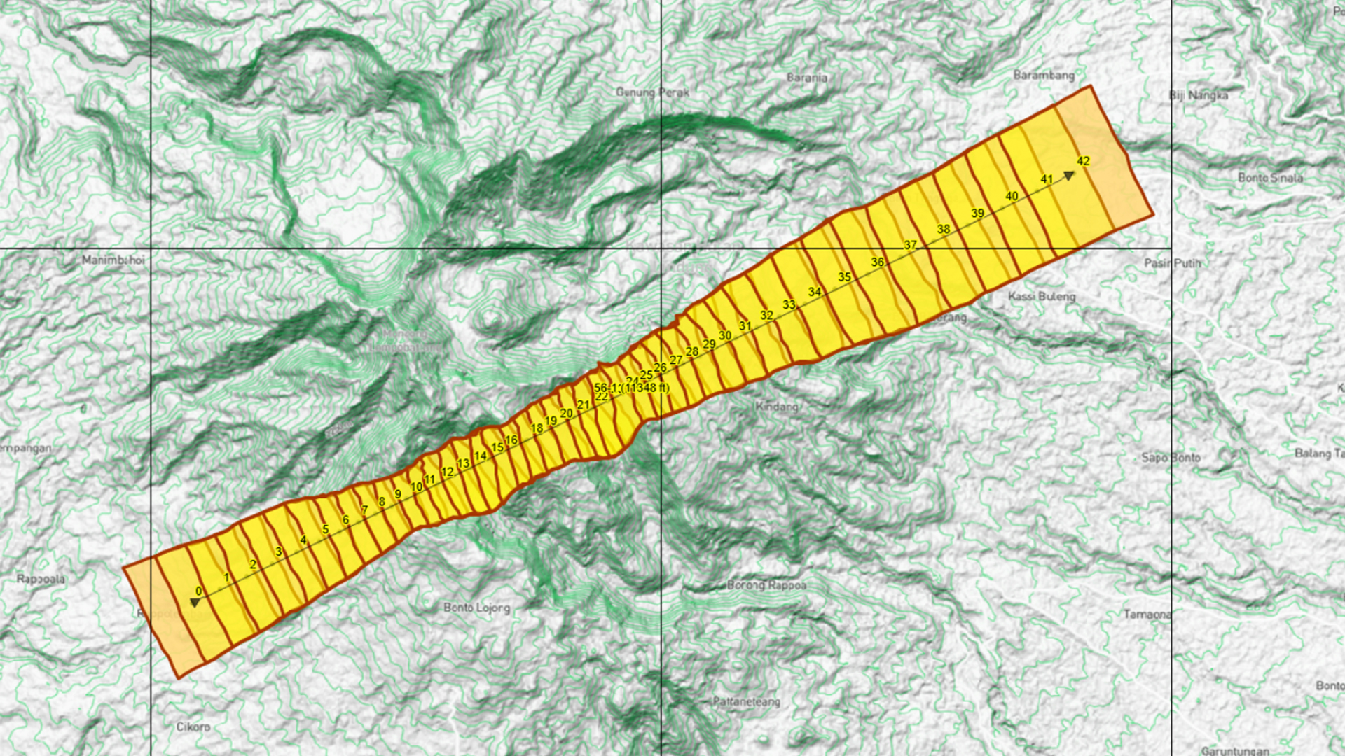
TOPOFLIGHT MISSIONPLANNER is an advanced 3D flight planning software for fast and interactive flight plan design. By incorporating digital elevation models, it ensures optimal outcomes and reduces the number of required images, subsequently minimizing the costs associated with flight missions. The software provides diverse export interfaces for seamless integration with a wide range of flight management systems.
Designed for planning both photogrammetry and LiDAR missions, TOPOFLIGHT MISSIONPLANNER supports a variety of sensors, including frame, line, and LiDAR sensors. The software conveniently presents results through maps and tables, offering a comprehensive overview. Furthermore, it includes features for calculating project costs, streamlining the process of generating accurate quotations.
Hint
Watch our highlights video for a brief introduction to our latest software release.
Changelog#
In the changelog below, you will find a detailed record of all notable changes made to MISSIONPLANNER. It is organized by version and date, including new features, bug fixes and improvements.
Hint
The MISSIONPLANNER changelog can also be found here.